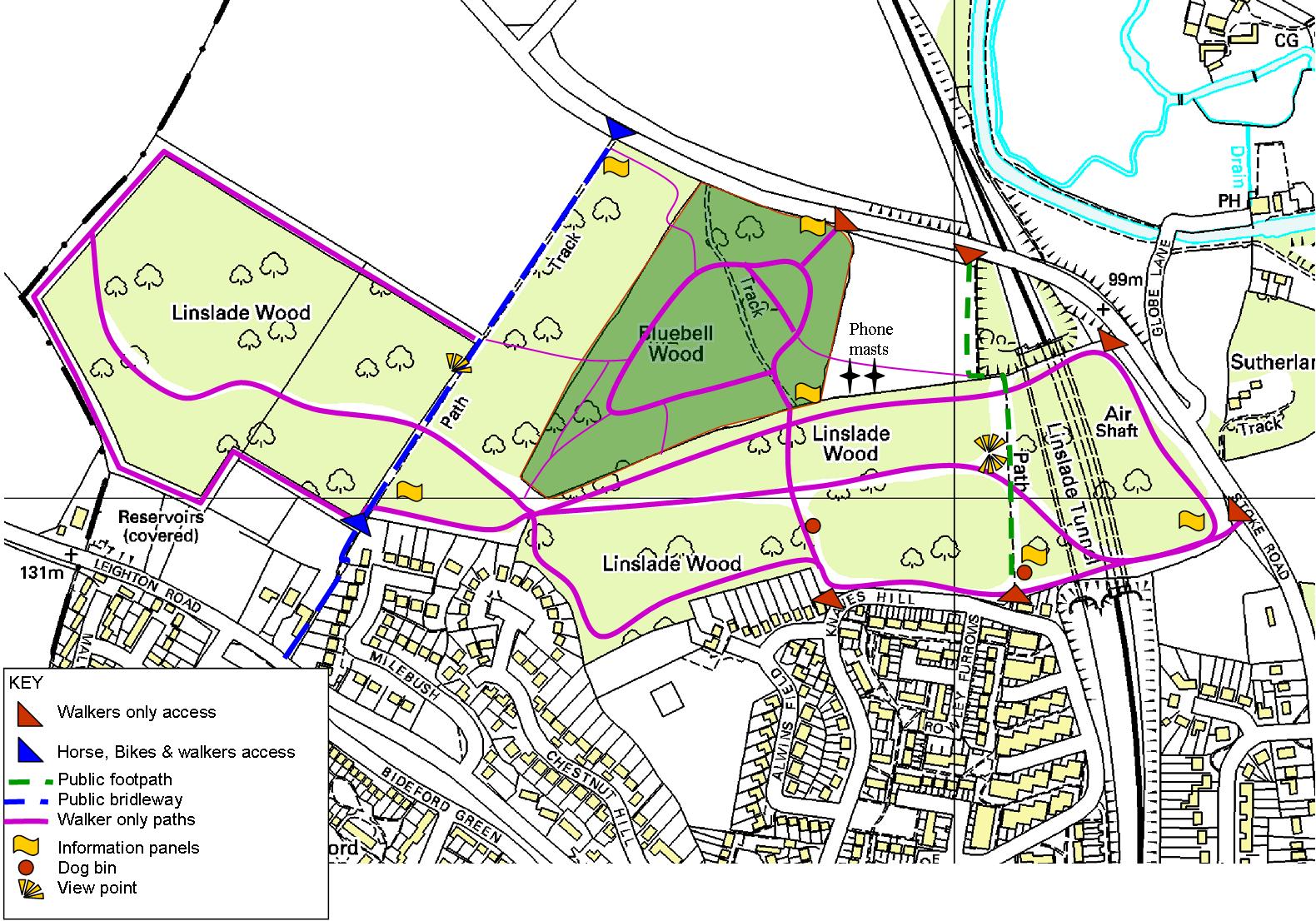
Linslade Wood
lies between Stoke Road and Soulbury Road
towards the northwest corner of the Google Map. There are 5 access
points. They
can be found in Stoke Road near the Globe Lane turn, after the bridge
over the railway and before you get to the
Old Linslade Road turn (bridle way). Another can be found in Knaves
Hill and the last in
Soulbury Road (bridle way) near the Derwent Road turn.